Conservation
The Data: Fiji
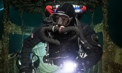
During the 2017 Fiji Expedition on board the m/y Ad-Vantage, Project Baseline volunteers conducted a series of dives to collect data that will be used for scientists to study the health of the area compared to other reefs in the South Pacific and other parts of the globe.
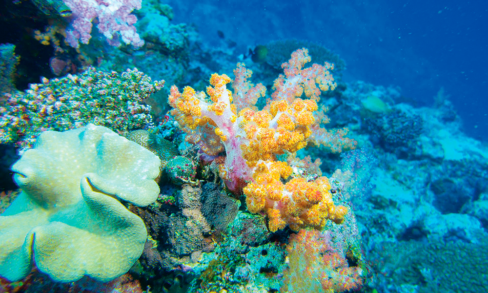
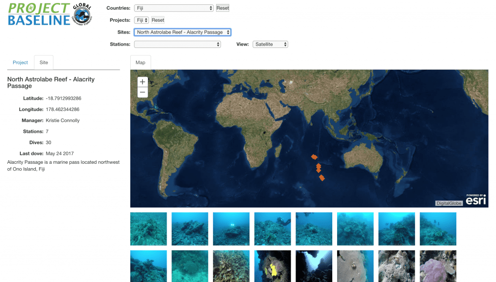
Click the image to view a gallery of several different corals/reefs around Fiji.
“Passions provide purpose but data drives decisions.”- Andy Dunn
During the 2017 Fiji Expedition on board the m/y Ad-Vantage, Project Baseline volunteers conducted a series of dives to collect data that will be used for scientists to study the health of the area compared to other reefs in the South Pacific and other parts of the globe. Temperature, salinity, dissolved oxygen, video transects, detailed documentation of specific coral colonies, along with sample collection and preservation were conducted by a team of technical divers, open circuit science divers, and a submersible. The data collected is being analyzed by a graduate student from the University of the South Pacific. To view, the data visit our database and our YouTube channel.
To read more about the project, see our article on Establishing a Baseline for Fiji’s Coral Reefs, or view our story map.
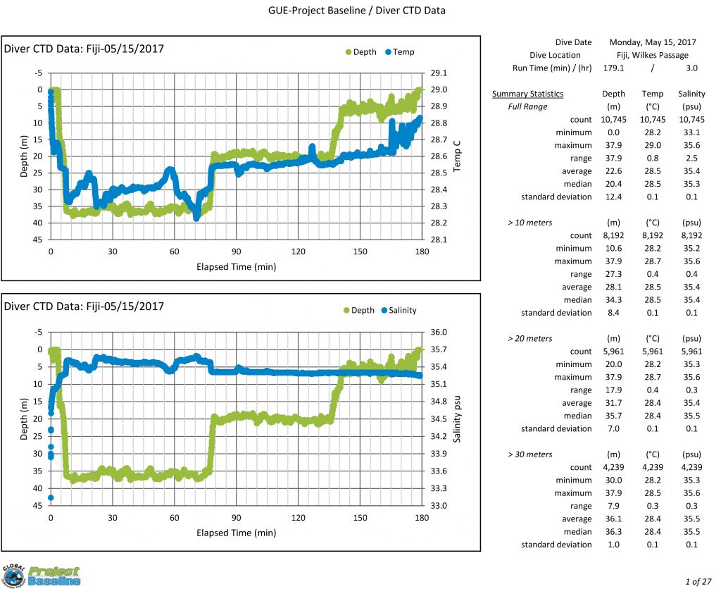
This is the dive profile for the mission at Alacrity Passage. The temperature is recorded on their dive computers as well as on a data sonde that is carried by one of the dive team members.
Both the rebreather team and the submersible were equipped with data sondes that continuously measured the salinity, temperature, and depth of the water at one-second intervals. The rebreather team’s data sonde was also equipped with pH and dissolved oxygen sensors.
The data was downloaded and plotted to depict how those parameters varied from site to site and with respect to depth at every site. These data will provide other important baselines for coral reef conditions in Fiji from which change through time can be identified, quantified, and hopefully acted on.
Top Image Photo Credit: Rob Wilson, Frontline Photography.
The Project Baseline initiative is driven by data collection. With an online spatial database that hosts the collection efforts of over 100 teams in over 30 countries, anyone can access the temperature, visibility, and images from these aquatic locations.

